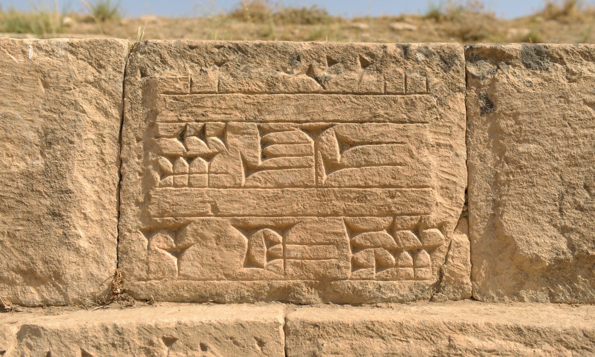
This project carries out comparison of 1960s CORONA images with current satellite imagery in order to evaluate the extent of damage to heritage sites by a range of factors, including urban expansion, agriculture and deliberate destruction.
For more information, please contact:
Dr. Simone Mühl
Vice-President
info[at]rashid-international.org


